We explored Malin Head before setting off.
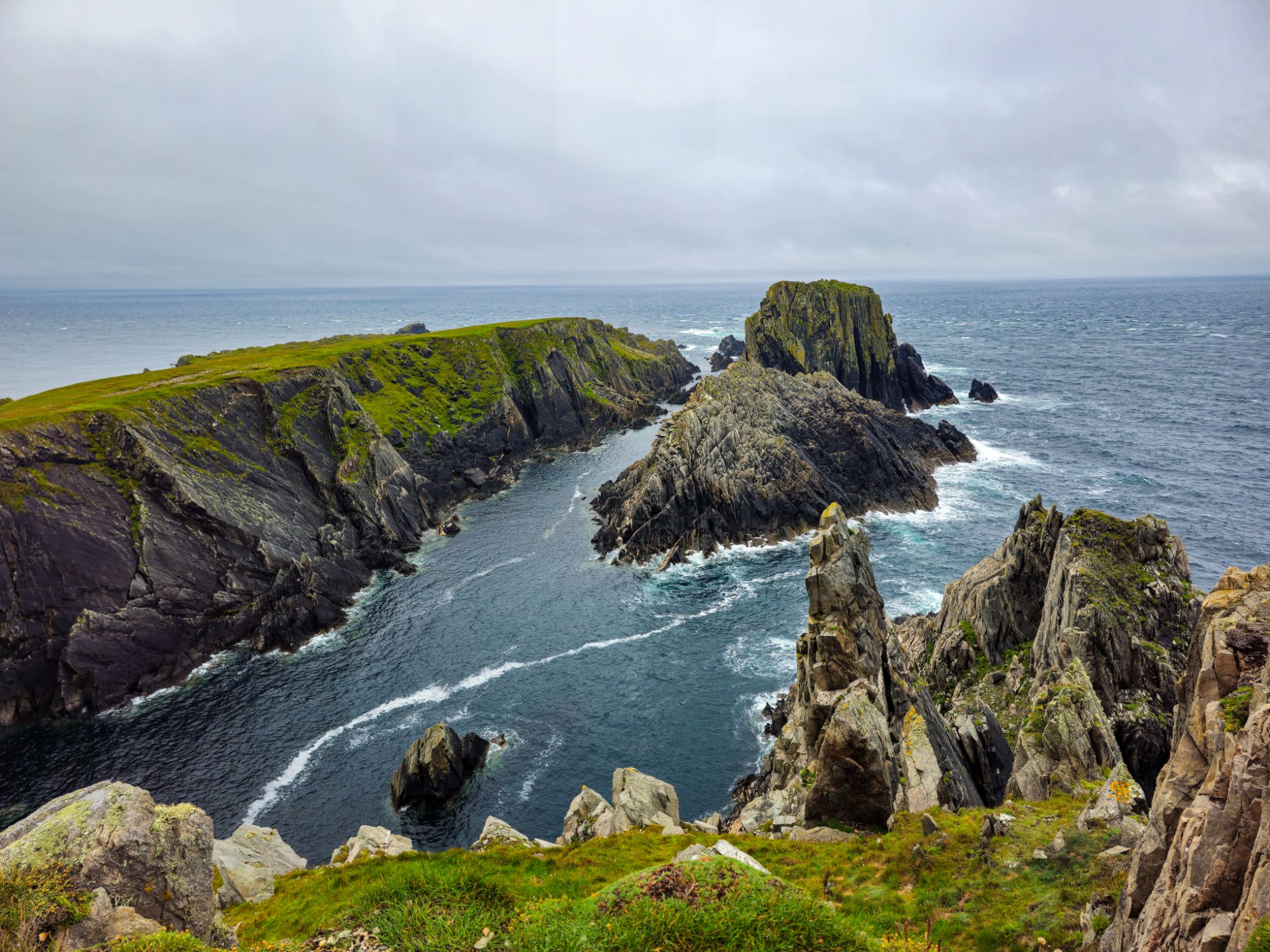
The wind was strong but the rain had stopped. We did a little filming of the Head with one of the ERIE markers from WW2.
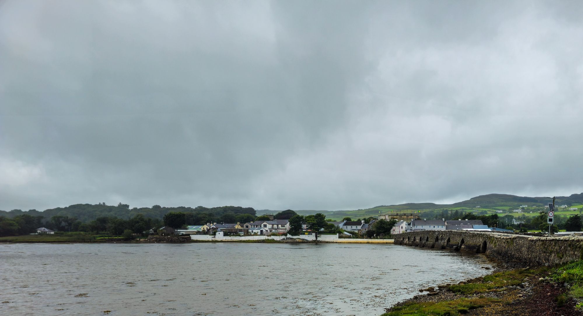
On the road now heading south, we crossed the Malin stone bridge.
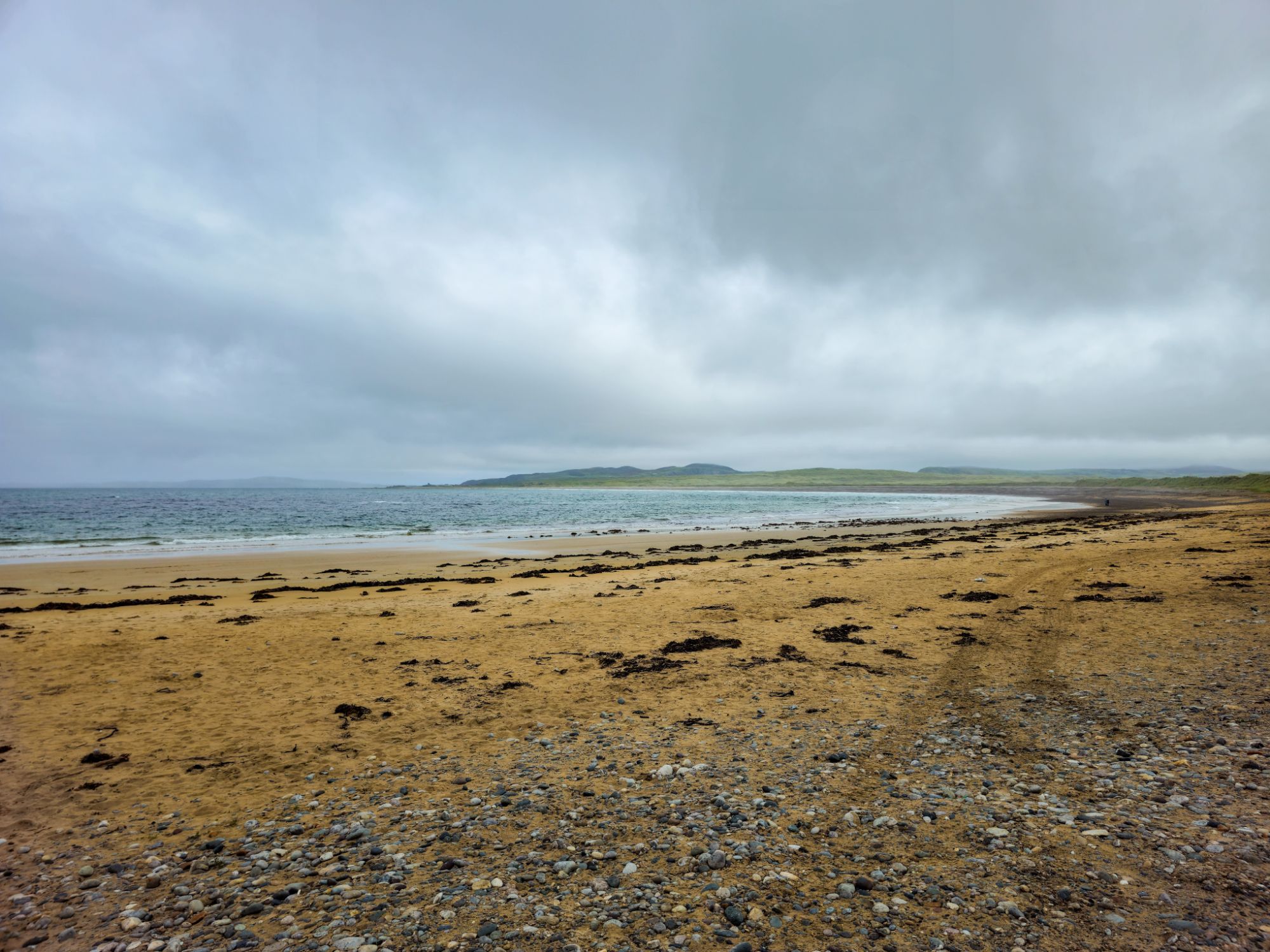
And visited Pollan Bay but it was raining we did not stay long.

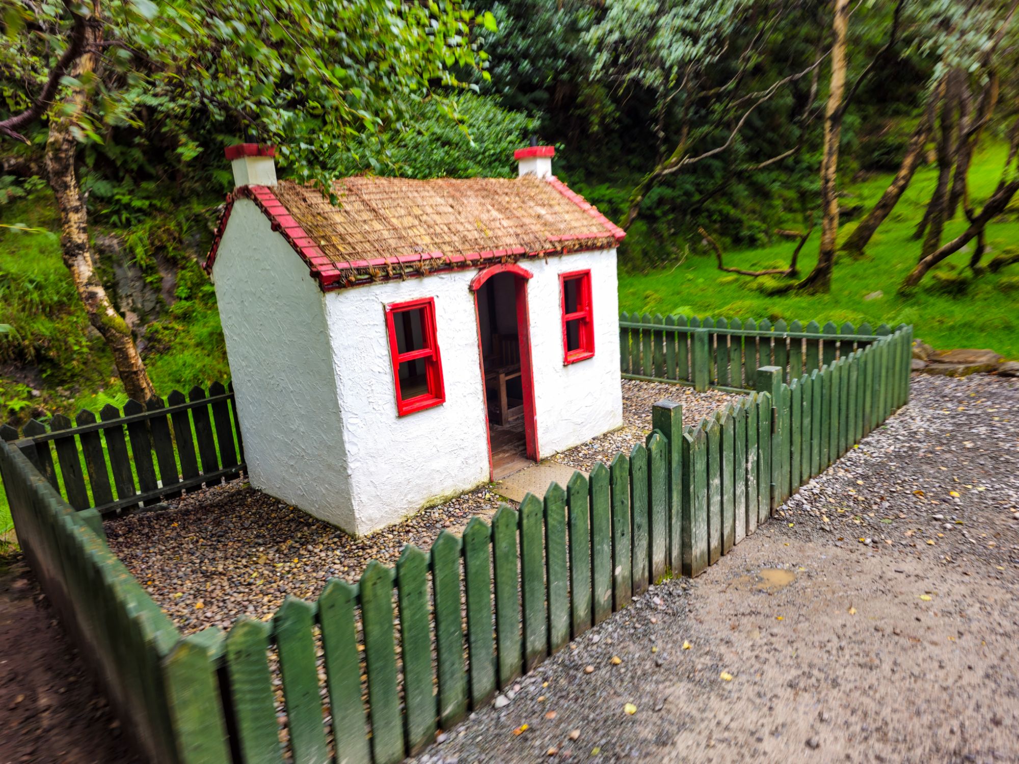
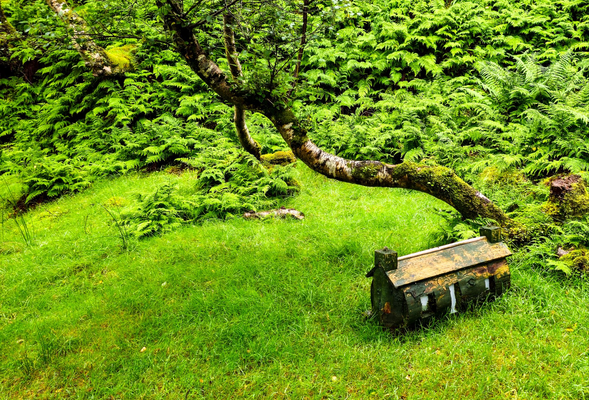
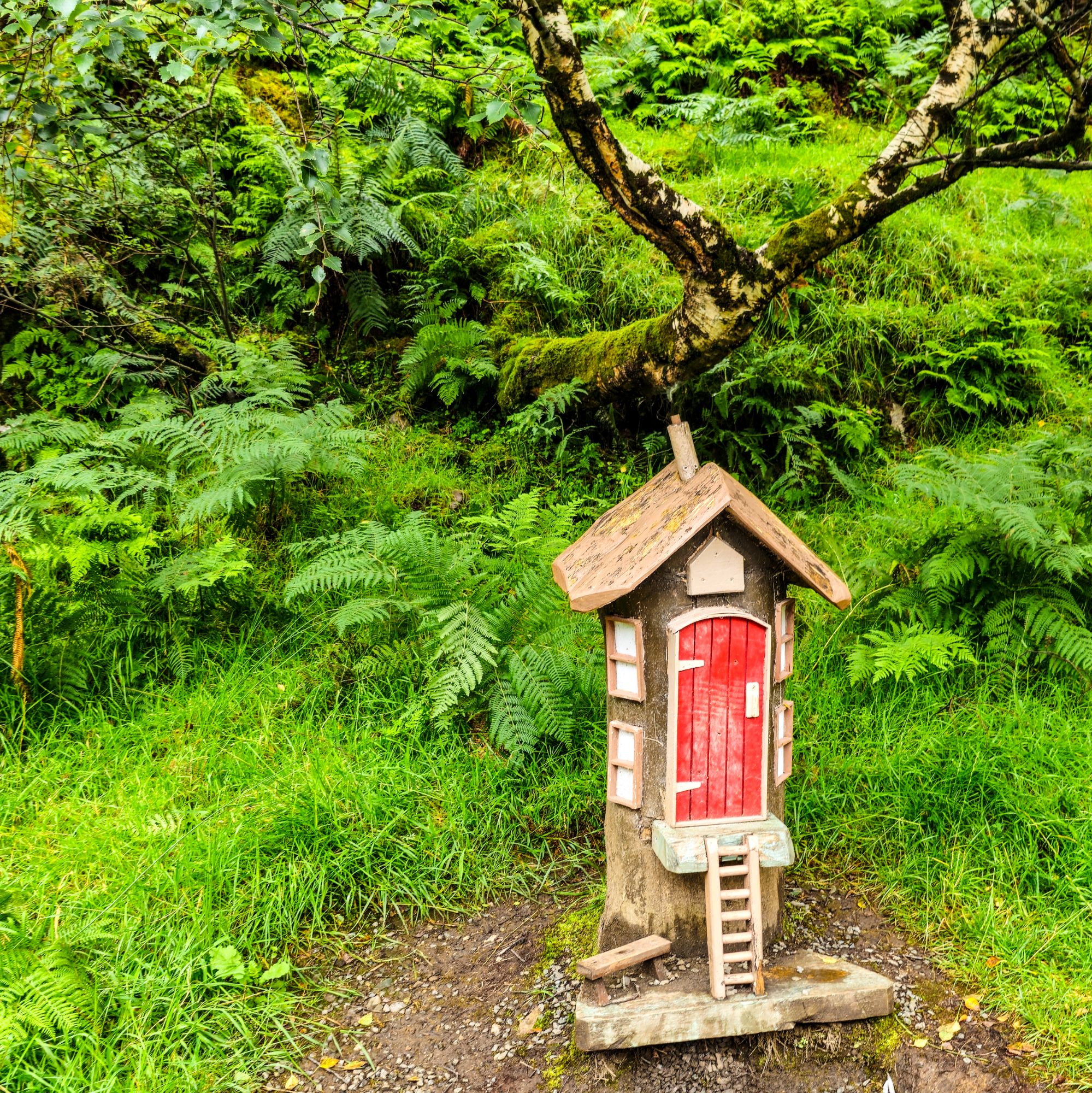
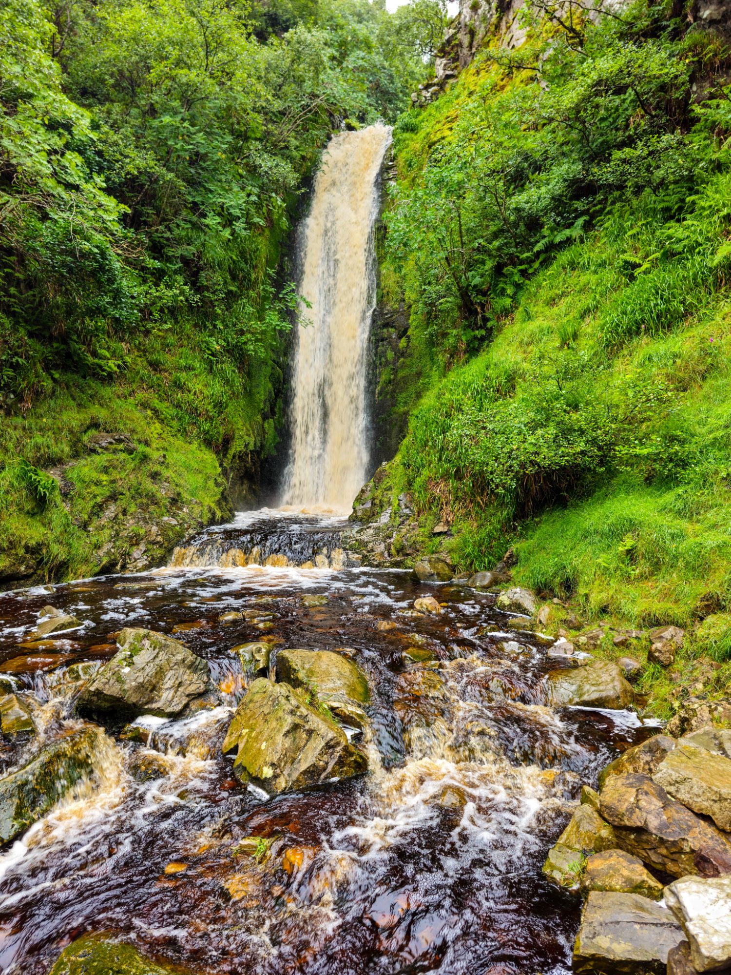
The Glenevin Waterfall, we walked through the woods were a number of miniature houses had been created.
The waterfall itself was quite big with a high iron content hence the colour.
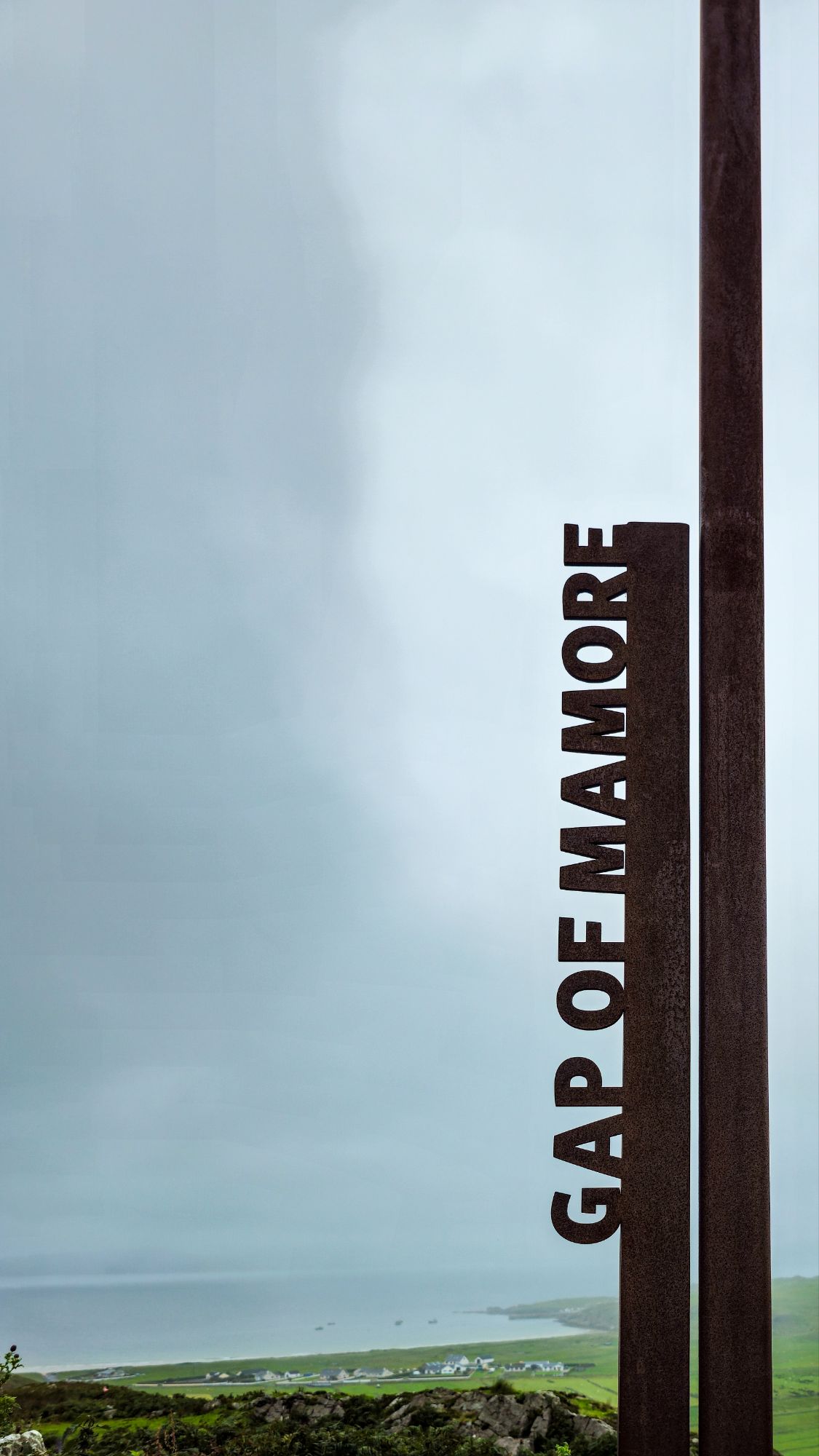
We stopped at the Gap of Mamore a beautiful view point when the clouds parted. This was our lunch stop.
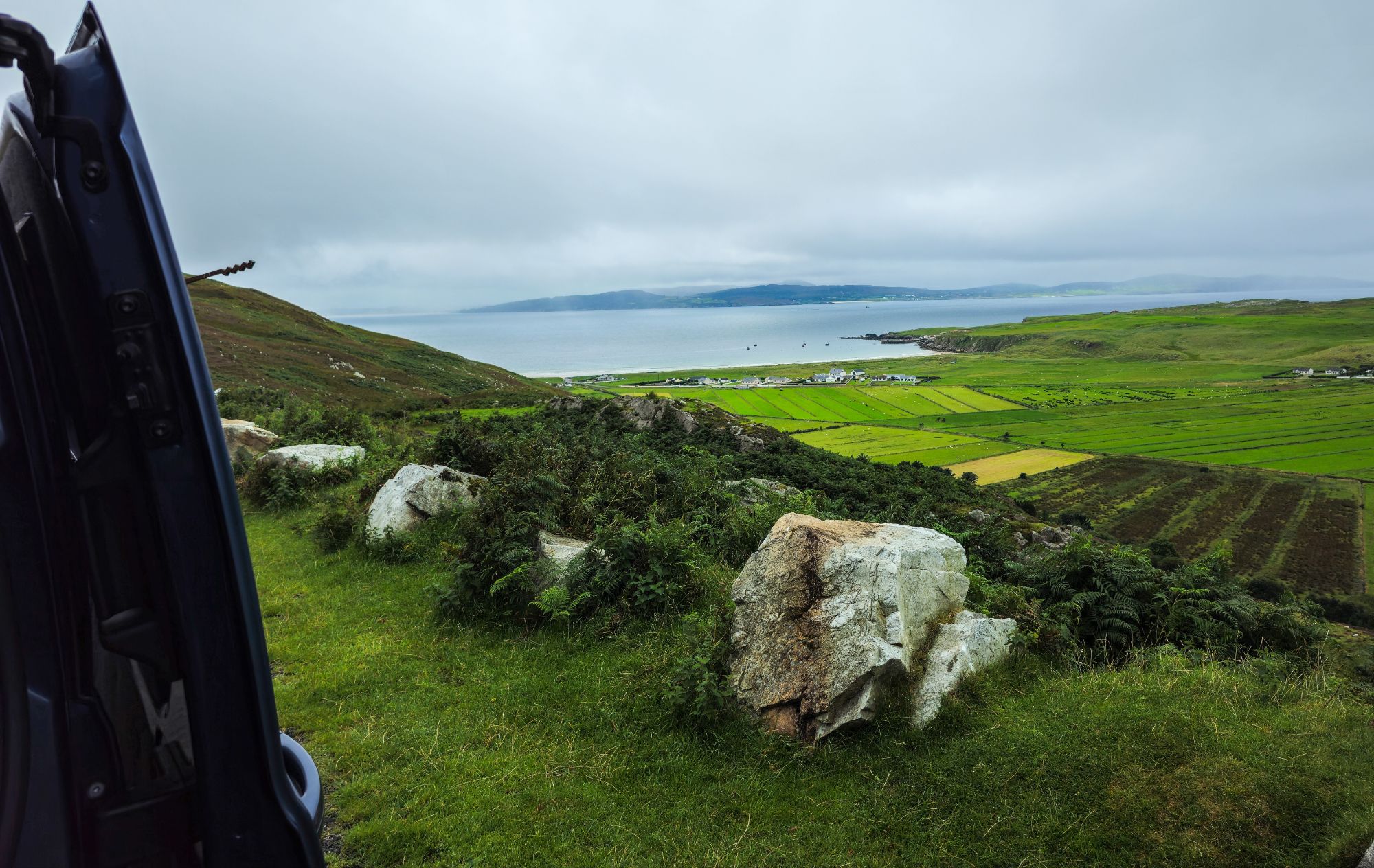
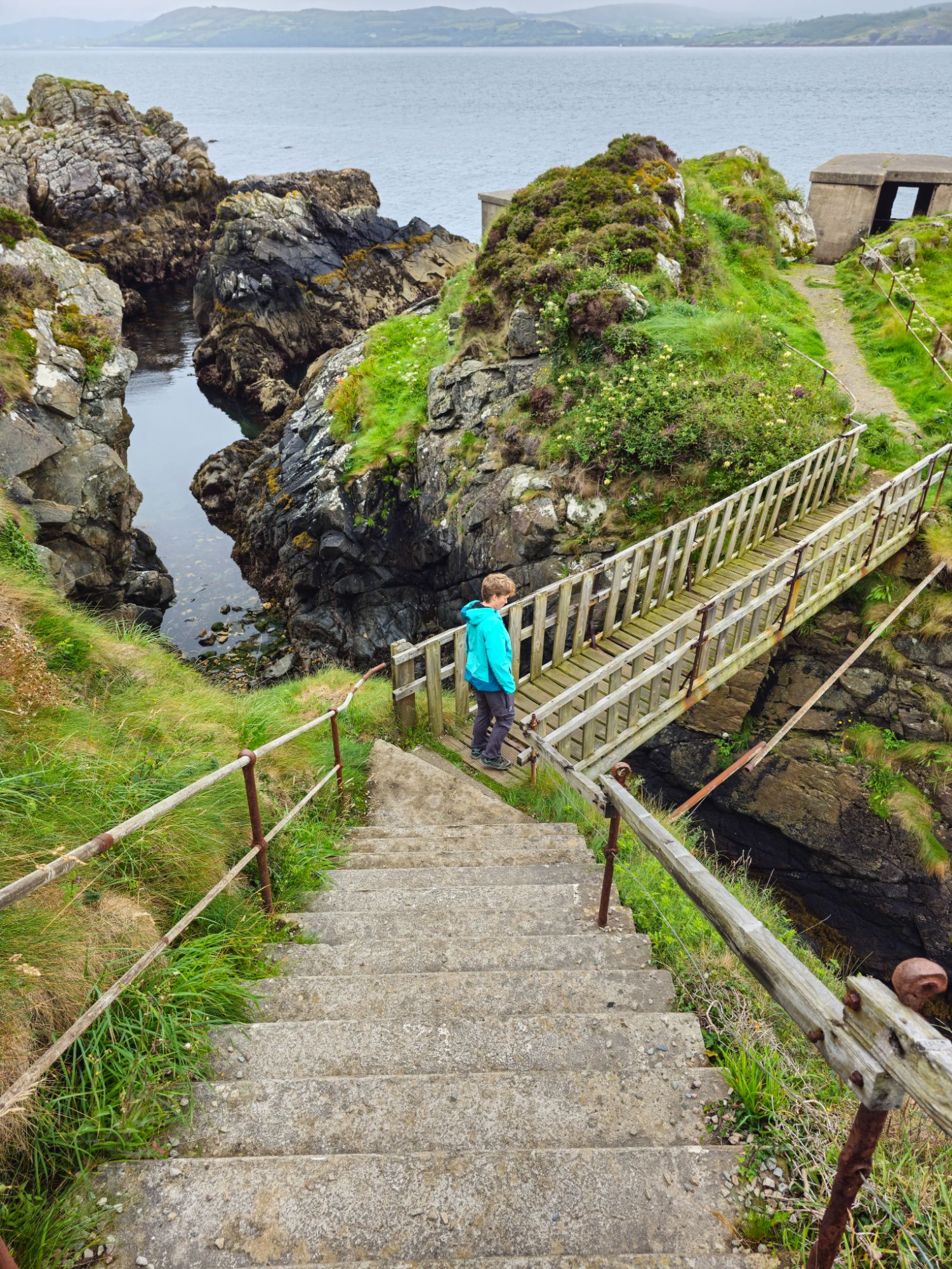
The climb up from lunch was very steep and visibility was down to about 20m.
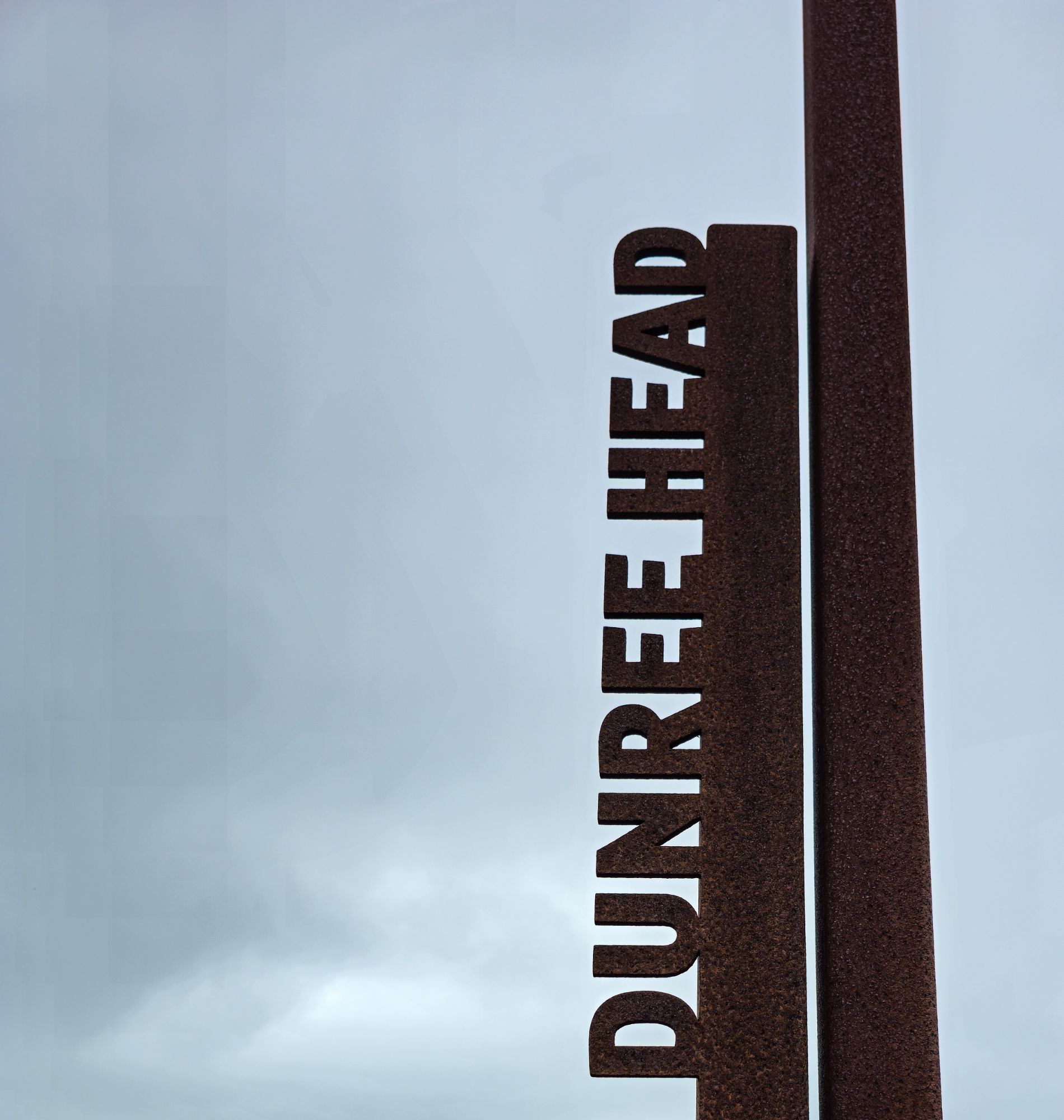
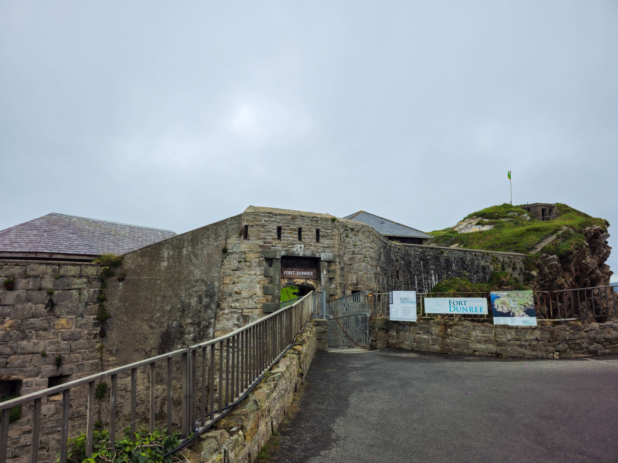
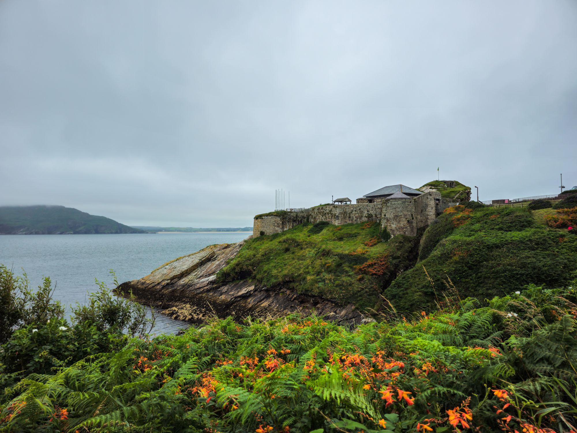
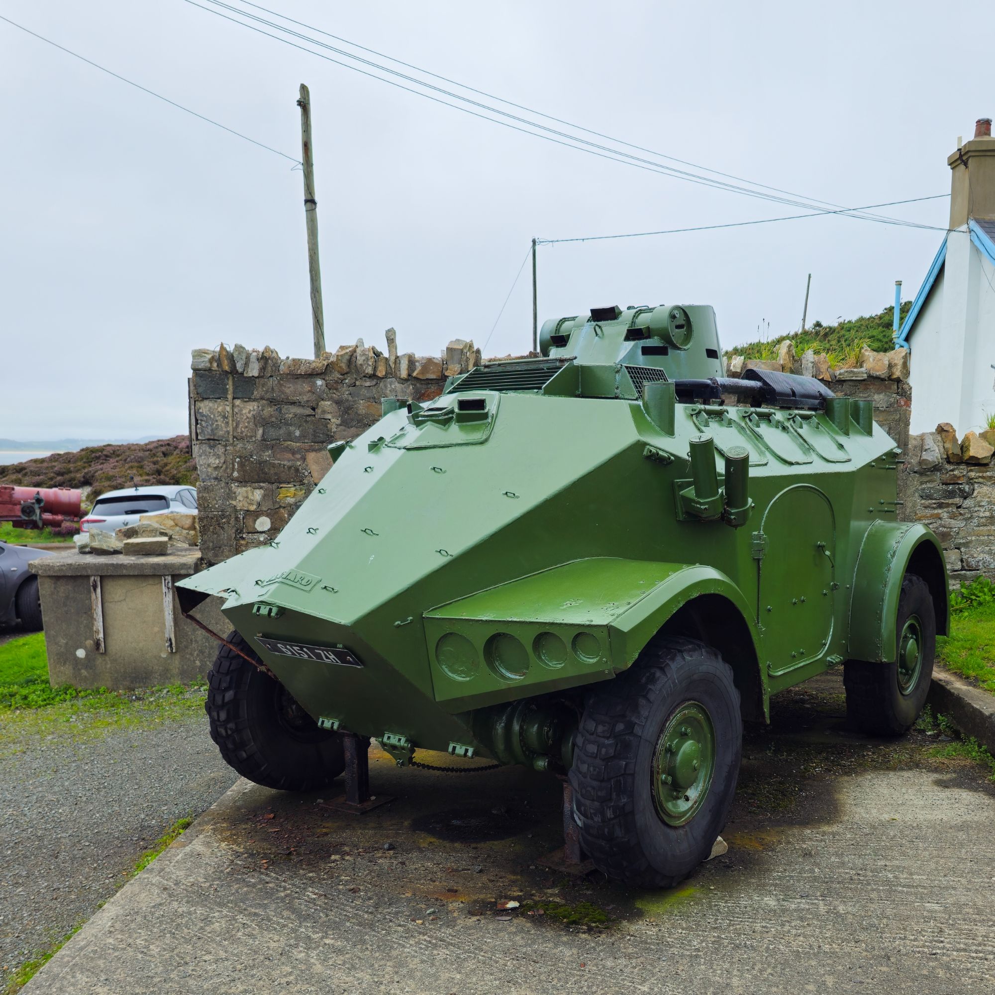
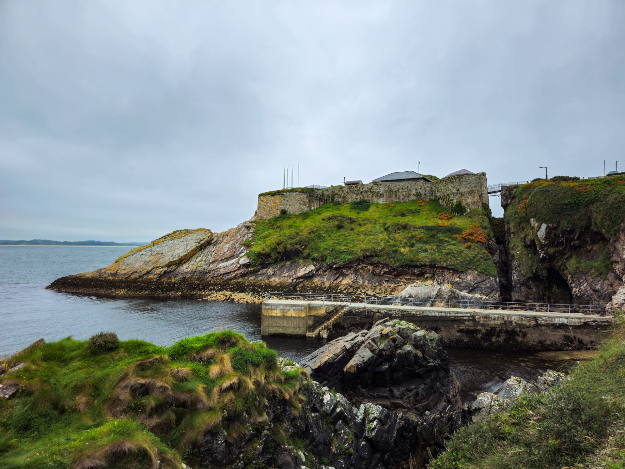
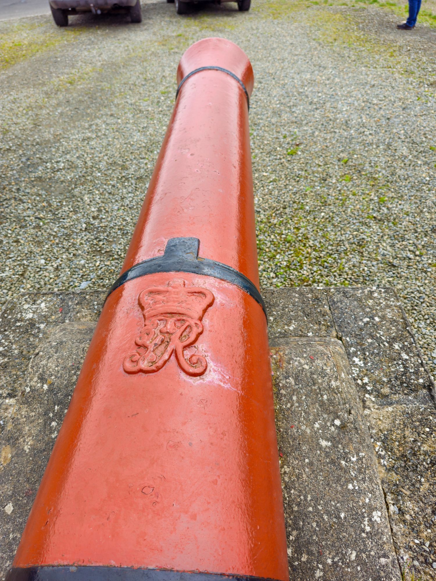
On the next headland, there was a fort built in Napoleonic times and only handed over to the Irish state in the late 30s Fort Dunree.
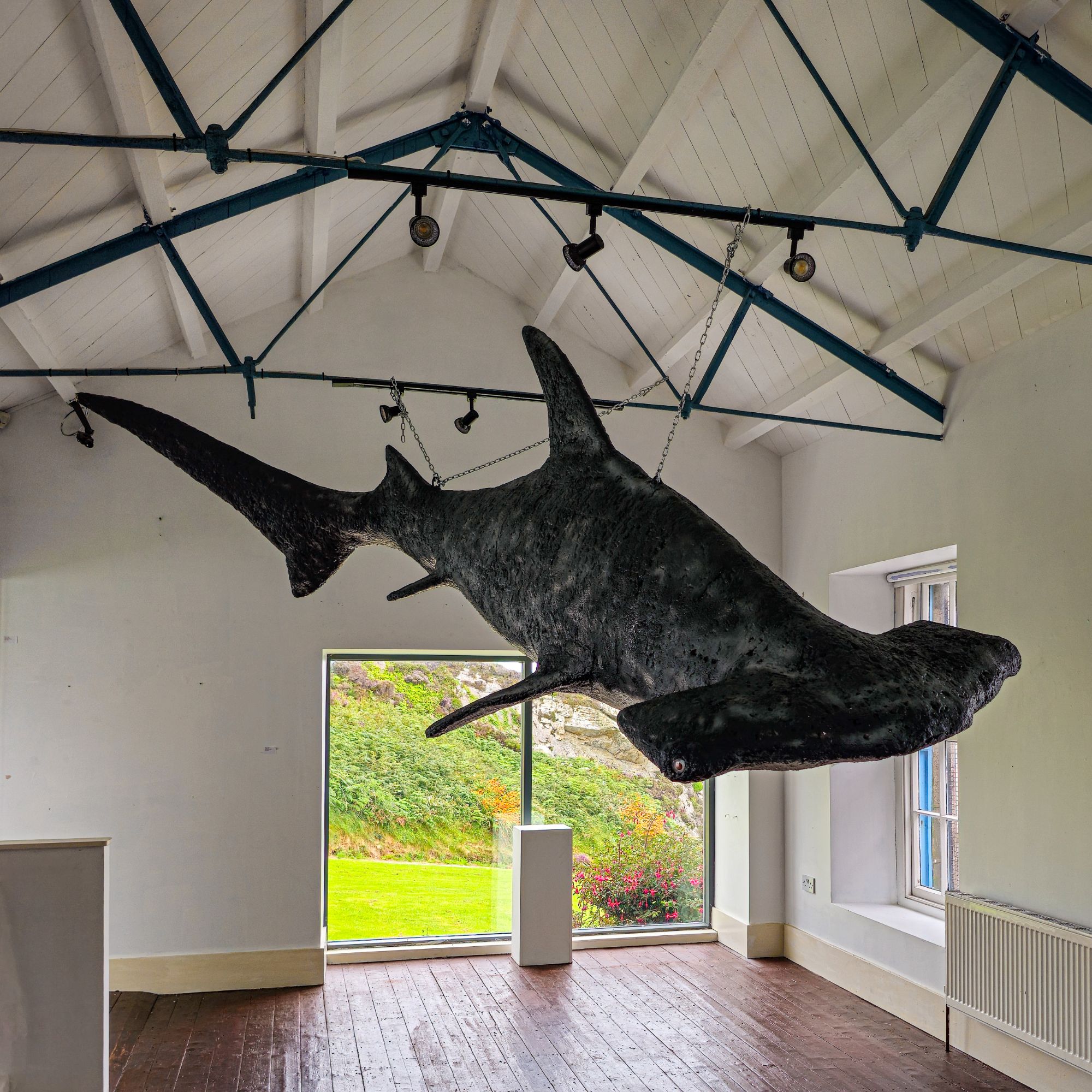
The shark’s backbone was on display just outside.
We headed off to find a quiet park up for the night however when we got there there was a fun fair in full swing so we had a look around, had some chips and left for somewhere quieter.

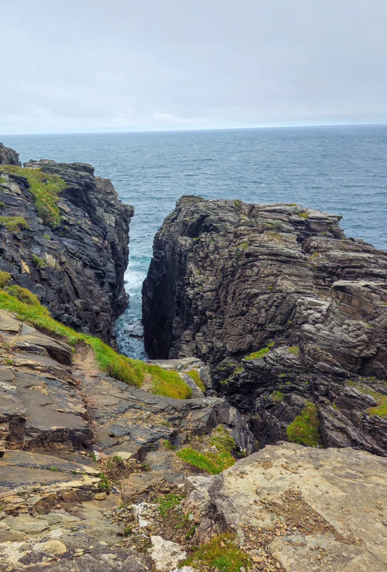
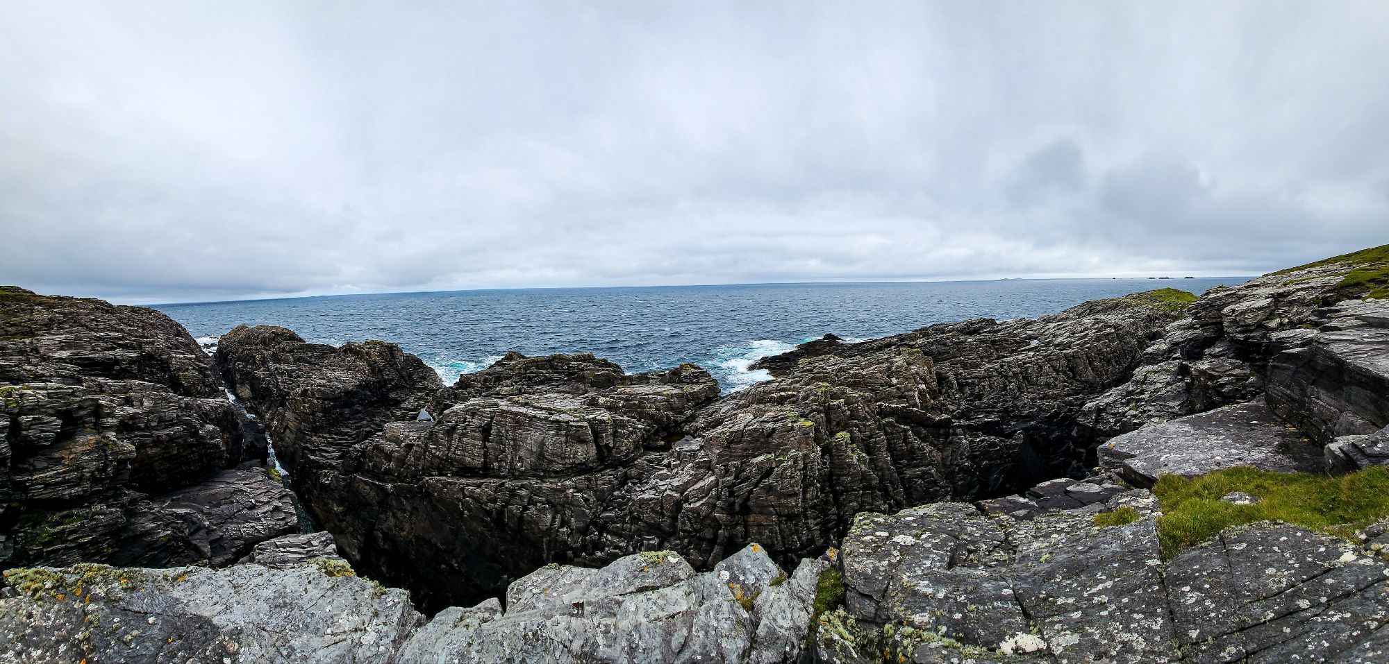
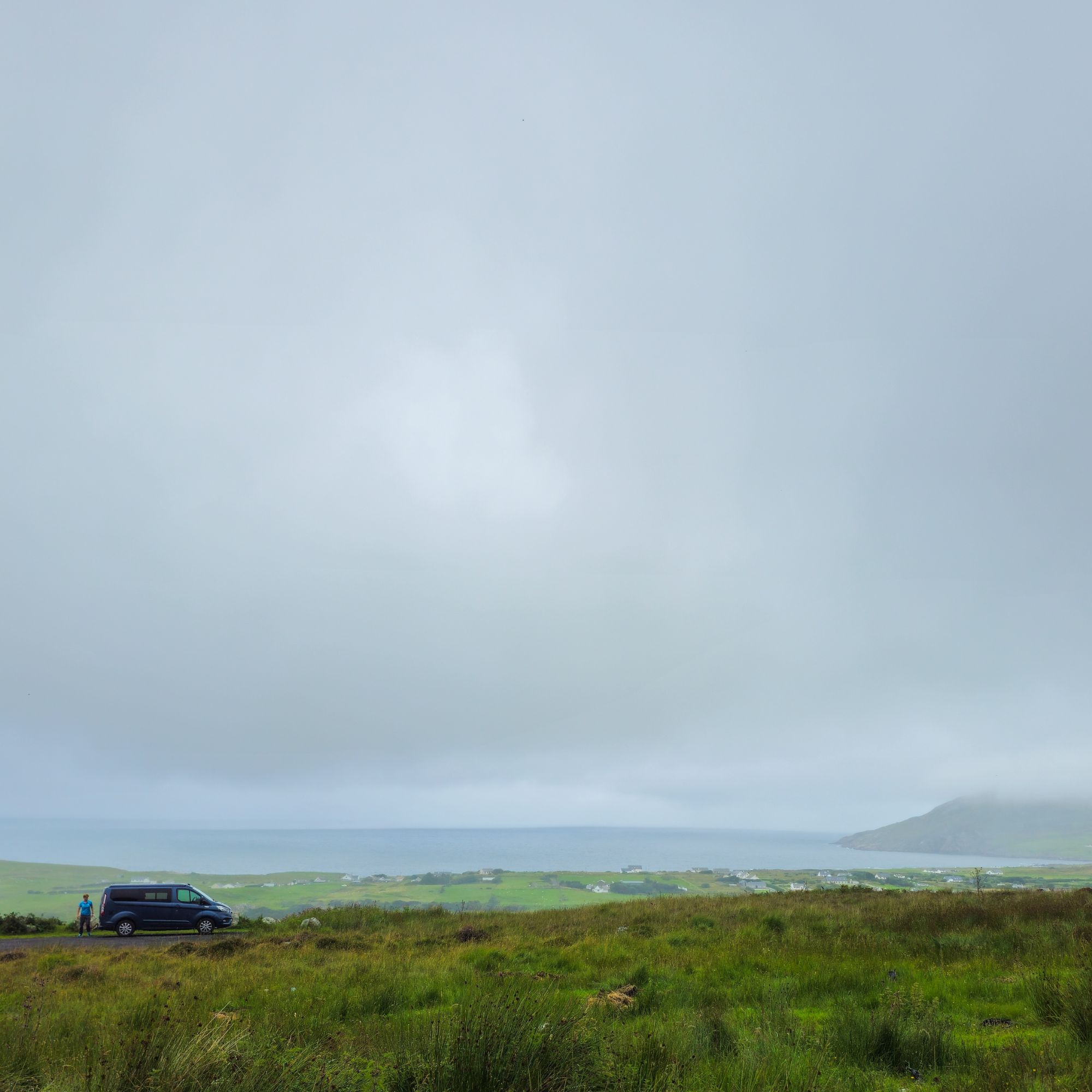
Last viewpoint a panoramic pic can you see it…
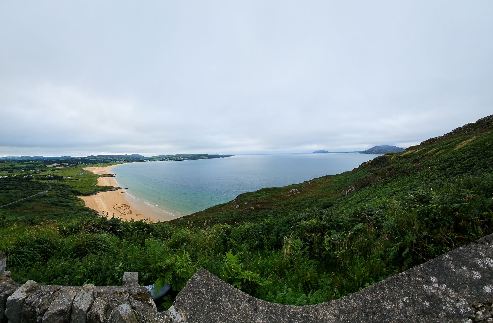
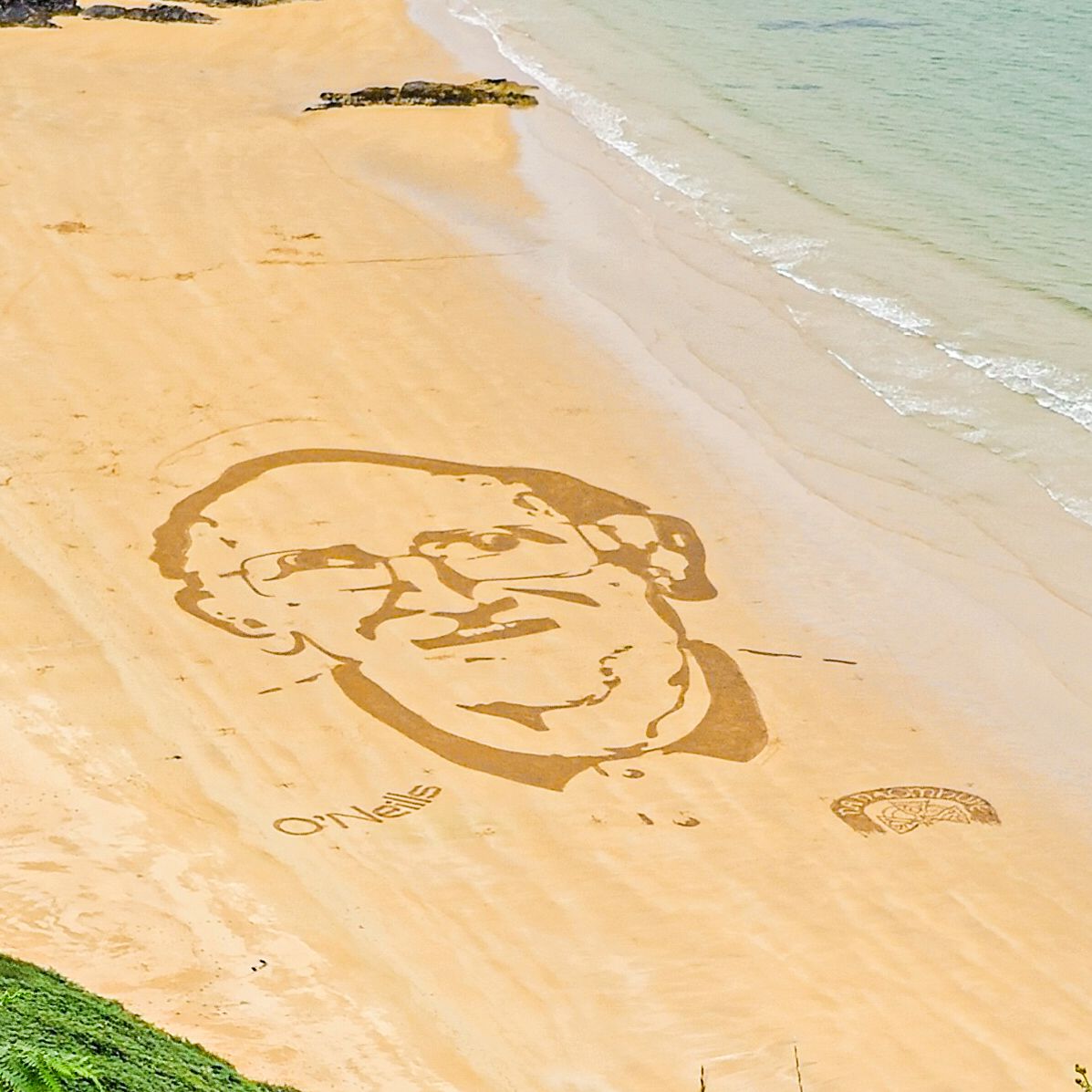
There is a face in the sand